
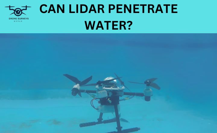
The question on many minds is: Can LiDAR penetrate water? Recent advancements in drone LiDAR systems have made it possible to use this technology underwater. This brings both challenges and opportunities for exploring aquatic environments. We will explore the fascinating world of LiDAR technology and its underwater applications.
Can LiDAR Penetrate Water?
Yes! LiDAR can penetrate water, the effectiveness of LiDAR in water depends on various factors such as water clarity, turbidity, temperature, salinity, and depth. In underwater LiDAR systems, green light with a wavelength of 532 nm (bathymetric surveys) is commonly used as it can penetrate water more effectively than other colors. These systems can explore ocean depths up to 300 meters.
Does Lidar Work Underwater?
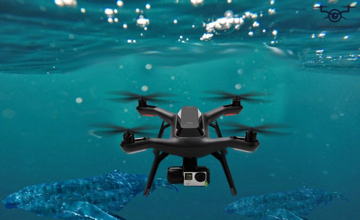
Using LiDAR technology with drones underwater adds complexity and interest. Light behaves differently in water compared to air, making it challenging to collect accurate data with the 532 nm light signal typically used for LiDAR.
To address this problem, underwater drone LiDAR systems need precise calibration to adjust for light changes. Water depth and clarity also affect how well LiDAR can collect accurate data underwater. By recognizing these factors and adjusting their methods, experts can discover valuable information about underwater landscapes that were previously unknown.
Limitations Of Underwater LiDAR Measurements
Underwater LiDAR technology has improved our ability to map and study underwater environments with great accuracy. But, like any tool, there are limitations to using underwater LiDAR for research and exploration.
- Light absorption and refraction: Due to refraction of ight, light gets bent in water due to this bending data received from LiDAR becomes less accurate.
- Temperature and salinity: Temperature of water and saltiness has direct effect on LiDAR readings. Due to these LiDAR readings can vary 4 to 6mm.
- Turbidity: The purity of water also effects the travelling of LiDAR signals. If there are much particles that blocked a sunlight from reaching to the bottom then these particles also blocked the LiDAR signals.
- Power loss: The distance of bottom to surface is directly proportional to the power of LiDAR. The more it goes deeper the more it loses power and accuracy of measurements.
- Depth limitations: The maximum accurate depth range of LiDAR is 300 meters. The more it goes deeper the less effective it becomes.
- Weather conditions: Extreme weather conditions cause disturbance in LiDAR accuracy. Conditions like heavy fog and rain cause LiDAR beams to refract and provide less accurate data.
Water Clarity’s Impact On LiDAR Penetration
Water clarity affects how well LiDAR can see underwater. Clear water allows LiDAR beams to go deeper and gather more detailed information.
Different types of water can impact how well LiDAR works. Described below:
| Water Clarity | Influences |
| Crystal Clear | Changes in temperature, saltiness, and suspended particles can make the range bigger or smaller. |
| Moderately Clear | More particles in the water and higher salt levels can make it harder for light to go deep into the water. |
| Murky | The same factors apply. Murky waters with lots of particles can make it harder to see underwater. |
| Extremely Murky | In Extremely Murky water, it’s hard for light to go deep because the water is murky and absorbs light. |
Maximum Depth LiDAR Water Penetration
LiDAR can see through water, which helps with marine research and environmental monitoring. Scientists use this technology to study underwater ecosystems, map seabeds, and check the health of aquatic habitats in great detail. By using drone-mounted LiDAR systems, researchers can learn more about the ocean and improve conservation efforts.
| Water Clarity | Maximum Depth Range of LiDAR |
| Clear water | Up to 300 meters |
| Slightly turbid water | Up to 100 meters |
| Moderately turbid water | Up to 50 meters |
| Highly turbid water | Up to 10 meters |
| Extremely turbid water | Up to 3 meters |
| Opaque water (like a muddy pond) | Less than 1 meter |
Keep in mind the depth ranges of LiDAR are just guesses the actual depth range depends upon various factors including the type of LiDAR used as well as the concentration and clarity of water. The clearer the water the more deeper laser beams will go with full power, and the cloudier the water the shallow LiDAR’s depth range becomes.
Water Surface Roughness And LiDAR Measurements
After answering this question can LiDAR penetrate water? Understanding Water surface roughness and LiDAR measurements factors is essential for improving the precision of LiDAR measurements over water bodies.
Reflection And Refraction
Water surface roughness plays an important role in the accurate measurement of LiDAR data. When light beams emitted by LiDAR instruments encounter water surfaces, their reflection and refraction patterns are influenced by the roughness of the water.
In case where the water surface is smooth, the reflected beam can create a specular reflection, bouncing off at an equal angle to its incidence. When dealing with rough or turbulent water surfaces, the reflections become diffuse and less predictable.
Signal Attenuation
Water surface roughness can significantly impact LiDAR measurements by attenuating the signals that are reflected back to the sensor.
The interaction between the laser beam and a rough water surface can scatter and disperse the signal, leading to reduced accuracy in data collection.
Impact On Water Surface Detection
For bathymetric LiDAR systems, variations in water surface roughness can distort the laser beams and affect the quality of the data collected.
When dealing with rougher water surfaces, such as those found in coastal areas or rivers with high flow rates, it becomes challenging to obtain precise depth information due to increased scattering and refraction of the laser beams.
Challenges In Shallow Water
Shallow waters change a lot because of wind, waves, and plants. This can make it hard for LiDAR to measure accurately all the time.
Also, it is harder for light to go deep in shallow waters, which makes it tough to detect things and lowers the quality of the data.
Conclusion
In answer to the question “Can LiDAR Penetrate Water?” It is concluded that LiDAR technology can map underwater areas well. It may not work as well in murky or deep waters, but improvements are being made to make it more accurate. Lidar can measure water and see through surfaces, making it useful for surveys, research, and monitoring.
Frequently Asked Questions
What is the Most Common Battery used in Drones?
The most common battery used in drones is the lithium polymer (LiPo) battery.
What are Drone Payloads?
Drone payloads are the additional equipment or devices that can be attached to a drone to enhance its capabilities, such as cameras, sensors, and delivery mechanisms.
Is There Ongoing Research to Improve LiDAR Technology for Underwater use?
Researchers are exploring ways to adapt LiDAR underwater technology for applications, but significant challenges remain in overcoming the limitations posed by water interference.
How Does The Use Of LiDAR Benefit Marine Conservation Efforts?
By providing detailed data on underwater topography and habitats, LiDAR helps in identifying critical areas for conservation and management planning.

