Drones are now essential tools in many professions, especially for collecting precise data. An important use of drone technology is in surveying, providing unique aerial perspectives. Collecting data is just the first step. To fully utilize drones, you need the right drone mapping software to turn the information into valuable insights.
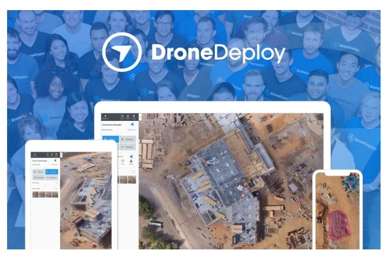
DroneDeploy
DroneDeploy is a top choice in drone mapping software because it is easy to use and works with many different drones. Even though it may not be the cheapest option, its many features make it worth the cost for most users.
You can use a variety of drone models with DroneDeploy, even ones not explicitly made for mapping. This opens up many possibilities for both experienced professionals and new pilots. The app helps plan flights and makes workflows more efficient while creating accurate visual data in real time.
The software is cloud-based, making it easy to process and share information. By supporting different drones and offering advanced features for different user needs, Drone Deploy is a leader in aerial mapping technology.
Pix4D
Pix4D stands out from competitors by letting users customize their experience to fit their needs. Users can choose from different options like the flight planner, processing platform, and map editor. This personalized approach means users only pay for the tools they need.
This flexibility is beneficial for professionals in industries like surveying, agriculture, and construction who have different needs for each project. Pix4D is committed to customer support, providing top-notch assistance to help users overcome any challenges.
Users can also download maps to their local drives for added convenience and security. With high-quality outputs like orthomosaics, Pix4D offers a reliable mapping solution for professionals in need of geospatial data processing tools.
Propellor
Propeller offers a comprehensive approach to aerial mapping software with a pay-per-map model. This makes it easy for users to access various map outputs at a fixed price. The measurement tools included help users analyze job sites accurately.
Propeller stands out from other mapping software platforms with its strong emphasis on customer support. This level of support is valuable for companies with internal drone mapping departments. Propeller is ideal for businesses looking for professional-grade solutions for aerial mapping projects.
DroneDeploy and Pix4D have measurement tools, but Propeller has more advanced tools.
- Elevation Difference
- Volume from Lowest Point
- Design to Design
- Surface Area
- Road Grade
- Compare to Latest Design
- Berm Check
- Compared to Previous Survey
- Cross-Section Comparison
- Elevation History
- Earthworks Progress
Propeller has a downside: you need to use an Aeropoint for accurate image processing, which costs over $1,000. Also, you must find a separate flight planning app to use with Propeller because it doesn’t have one built-in.
WebODM
WebODM is a useful tool for GIS professionals who want to improve their drone mapping processes without spending a lot of money. It uses open-source software to provide advanced mapping features similar to expensive tools.
Running WebODM on your computer gives you more control compared to using cloud-based options. With features like DroneDeploy and Pix4D, WebODM helps users create detailed maps and extract spatial data efficiently. By learning coding and GIS, users can enhance their mapping skills with WebODM.
Using this platform is cost-effective and helps users understand drone mapping processes better. Proficiency in tools like WebODM can keep GIS professionals at the forefront of innovation in drone software and geospatial analysis as technology advances.
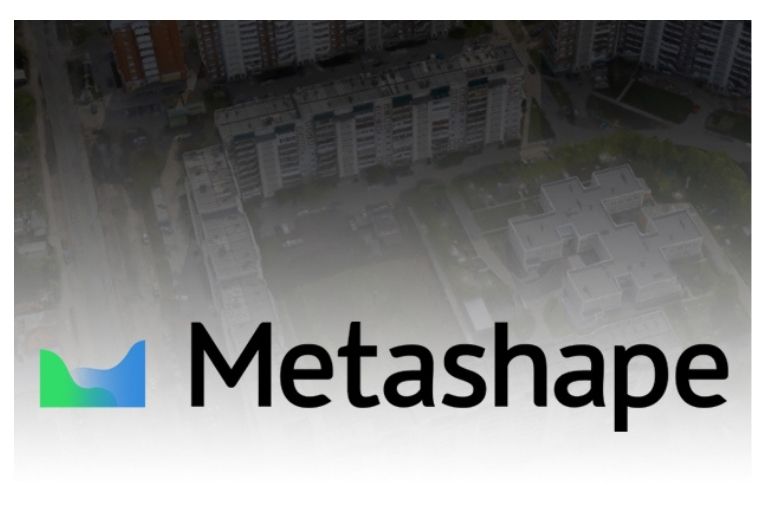
Agisoft Metashape
Agisoft Metashape is excellent for making drone 3d mapping software models from drone pictures. It’s a top choice for professionals who want accurate and immersive visualizations. The software’s intelligent algorithms capture small details of the landscape, buildings, and objects, giving users a full view of their survey area.
Agisoft Metashape’s realistic and precise outputs make it stand out from other similar tools. The paid service model ensures users get quick and helpful customer support, improving the user experience. The platform regularly updates and improves to keep up with industry standards and new technology. Overall, Agisoft Metashape is a valuable tool for making high-quality 3D models from drone data.
Agisoft Metashape has many unique tools, like Propellor.
- Dense point cloud: editing and classification
- 4D modelling for dynamic scenes
- Hierarchical tiled model generation
- Stereoscopic measurements
- Ground control points/scale bar support
- TLS Registration
- Automatic powerlines detection
- Satellite imagery processing
Why Agisoft Might Not Be A Fit For You?
Agisoft Metashape is a powerful 3D modelling tool, but it can be difficult for beginners or those with limited technical skills. The software is expensive and may not be necessary if you only need basic editing or mapping features.
If you prefer simple and efficient software for your projects, Agisoft Metashape might be too complex. In that case, a more user-friendly and affordable option could be a better choice. It’s essential to consider factors like usability, cost, and your project needs before deciding if Agisoft Metashape is suitable for you.
Similar But different
When picking this software, look at each platform’s special features. These differences, like accuracy and user interface, can affect your experience a lot. Choose software based on your needs and preferences. Some users care about cost, while others want advanced features and support. Try different options before buying. Competition will probably make prices lower and encourage innovation.
Stay open to trying new solutions to find a more affordable option that meets your needs. Flexibility and willingness to adapt are key to finding the best drone map software for your use case. Explore beyond what you know to discover hidden gems in the market.
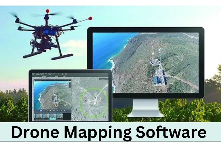
Drone Mapping Software
This software quickly and accurately captures detailed aerial data. This data is used to make high-resolution maps, 3D models, and other helpful outputs for industries like construction, agriculture, mining, and environmental monitoring.
The software helps users easily plan flights, conduct surveys, and analyze data. It has simple interfaces for beginners and advanced features for professionals to customize their work. Real-time feedback from the software helps with quick decision-making on-site and effective team collaboration during missions.
This software is changing how businesses collect and analyze aerial data. Using this technology helps organizations work faster, save money, improve safety, and stay competitive in their industries.
Free drone mapping software allows users to capture aerial data easily and provides advanced features such as terrain modelling and volume calculations.
Conclusion
Drone mapping software has changed how industries gather data and make maps. It uses advanced technology for accurate measurements and detailed images, making work more efficient in areas like farming, building, and environmental tracking. It can survey large spaces fast and make 3D models, saving money for businesses. As this tech gets better, we’ll see more cool features that improves the software.
Frequently Asked Questions
Do you need Georeference for Webodm?
Georeferencing is crucial for using WebODM to process aerial images and make precise maps or 3D models. It means giving spatial coordinates to images so they match real-world locations. This guarantees that WebODM’s final results are accurate and can be used for tasks like city planning, farming checks, or emergency help.
Where is Skinwalker Ranch?
Skinwalker Ranch is in northeastern Utah near Ballard. It is known for strange events, such as sightings of shape-shifting creatures called skinwalkers. The ranch is over 500 acres and has been studied by many researchers and fans of the supernatural.
Can Drone Surveying Software Provide Accurate Measurements?
Yes, drone surveying software is equipped with advanced technology to provide precise and accurate measurements.