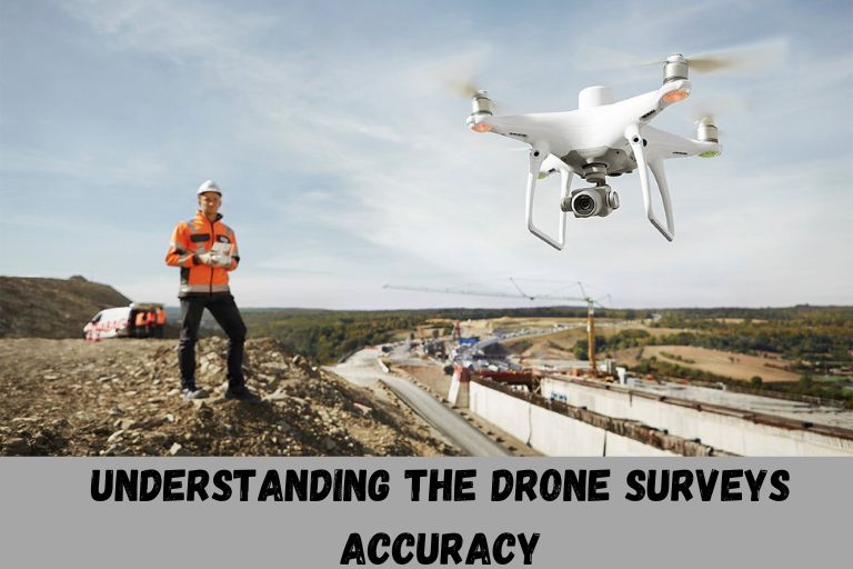
Drone surveys have become more popular, but are they really more accurate? Accuracy is important for making decisions in construction, agriculture, and environmental monitoring. Different drones offers different drone surveys accuracy. The accuracy in surveying depends on some factors such as flight altitude, image overlap etc.
How Accurate Are Surveys?
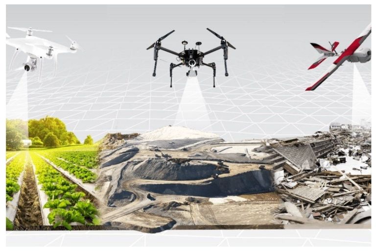
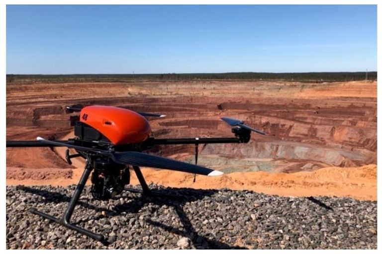
The accuracy of a drone mapping survey is largely dependent on several key factors such as the type of drone used, the quality of the camera onboard, flight height during data capture, ground cover conditions, and the efficiency of the drone mapping software employed. By utilizing commercial-grade survey drones equipped with advanced technology and high-resolution cameras, data accuracy levels can reach an impressive range from 0.5cm to 2cm.
This exceptional level of precision translates into detailed and reliable data that can be effectively used by various industries like construction, agriculture, mining, and environmental monitoring. The ability of drones to capture real-time information and produce high-quality maps without human error or bias ensures faster project completion times and cost-efficiency.
How Drone Survey Accuracy Is Measured?
Drone survey accuracy is a crucial aspect of data collection in various industries, as it directly impacts the reliability of the information gathered. Drone survey mapping based on following accuracy types:
| Accuracy Type | Description |
| Local accuracy | Determines the exactness of data points within a specific coordinate system. |
| Absolute Accuracy | Ensures the reliability and precision of the collected data, by comparing the data points recorded by drones to their true positions in the real world. |
| Relative Accuracy | Allow us to understand how closely the individual measurements are located to each other within a dataset. |
| Global Accuracy | Refers to the overall accuracy of a map or model over a large area or region. |
Local Accuracy
Local accuracy, specifically, plays a significant role in determining the exactness of data points within a specific coordinate system. By focusing on local accuracy, drone surveyors can pinpoint the position of objects or features with high precision relative to their surroundings.
Achieving this level of accuracy is dependent on various factors, including the use of ground control points, employing accurate surveying methods, and leveraging high-quality drone mapping software.
Absolute Accuracy
Achieving absolute accuracy in drone surveying is crucial for ensuring the reliability and precision of the collected data. This level of accuracy is determined by comparing the data points recorded by drones to their true positions in the real world.
A high degree of absolute accuracy indicates that the measurements obtained are consistent with the actual physical location, enabling accurate decision-making based on reliable information.
Relative Accuracy
It allows us to understand how closely the individual measurements are located to each other within a dataset, providing insights into the precision and consistency of the survey results.
By assessing relative accuracy, we can evaluate the reliability of the data for making informed decisions in various industries such as construction, agriculture, and environmental monitoring. This metric plays a crucial role in assessing the quality and reliability of drone survey data as a whole.
Global Accuracy
This metric refers to the overall accuracy of a map or model over a large area or region, taking into account factors such as terrain variations and environmental conditions. Global Accuracy provides a comprehensive view of how well the drone survey results align with ground truth data across different geographic locations.
RMSE is used to measure the accuracy of drone surveys on a global scale. RMSE provides a quantitative measure of how well the predicted positions of objects match their actual positions. By calculating the differences between predicted and actual data points, researchers can determine the overall survey’s drone accuracy.
Absolute Accuracy VS Low Relative Accuracy
Absolute accuracy in drone surveys is essential for projects that require precise measurements and positioning. Achieving high absolute accuracy ensures that the survey data aligns perfectly with established fixed points or coordinate systems, minimizing errors and inconsistencies across the entire area of interest.
Low relative accuracy can lead to discrepancies in measurements within the surveyed area. While local accuracy focuses on achieving precision within a specific location or region, global accuracy is crucial for maintaining consistency and reliability across the entire survey area.
Balancing both absolute and relative accuracy is key to producing high-quality drone survey results that are not only precise but also consistent and reliable for various applications.
Determining The Accuracy Level For Your Project
When embarking on a project that involves the use of drone survey data, it is crucial to carefully determine the accuracy level required for its successful completion. Consider the intended use of the data – whether it will be used for high-precision applications or just general visualization purposes.
By understanding the specific needs of the project, you can tailor the accuracy requirements accordingly and avoid overspending on unnecessary precision. Balancing the full vertical accuracy requirements with the project’s budget is another important consideration when determining the accuracy level for your project.
It is essential to find a middle ground that meets both the project’s needs and financial constraints. By carefully assessing these factors and choosing an appropriate level of accuracy, you can ensure that your project runs smoothly and efficiently without compromising on quality or exceeding budget limitations.
Factors Affecting Drone Surveys Accuracy Level
Following are the factors that effect the drone surveys accuracy:
Ground Sample Distance (GSD)
The Ground Sample Distance (GSD) is a crucial factor that directly impacts the accuracy level of drone surveys. A higher GSD implies that each pixel in the image represents a larger area on the ground, resulting in lower resolution imagery and reduced precision in measurements.
This reduction in resolution can lead to inaccuracies when capturing intricate details or small objects within the survey area.
Image Overlap
It directly impacts the accuracy level of drone survey images is the amount of image overlap achieved during data collection. Image overlap refers to the extent to which successive images captured by the drone cover the same area.
A higher degree of overlap between images can help in creating an accurate and detailed model of the surveyed area, as it allows for better stitching and alignment of individual images.
Flight Altitude
When a higher altitude is selected, it results in a higher Ground Sampling Distance (GSD). This means that each pixel captured in the image by the drone represents a larger area on the ground. While this might seem advantageous for capturing large areas quickly, it can lead to potential loss of detail and resolution in the final imagery.
When surveying uneven terrain, altitude can also have an impact on the GSD variability across different parts of the area being surveyed. In such cases, choosing appropriate flight altitudes becomes critical to ensure consistent data quality throughout the entire survey.
Camera Quality
The quality of the camera used in drone surveys plays a crucial role in determining the accuracy level of the data collected. Higher resolution cameras will produce sharper images and videos, leading to more precise measurements and analysis.
This is especially important when conducting detailed inspections e.g roof inspections or mapping projects that require clear visuals.
Ground Control Points (GCPs Accuracy)
GCPs serve as reference markers with known coordinate locations on the ground, pivotal for correcting and aligning drone-derived data during survey processing. If these points are inaccurately positioned or measured, it can lead to substantial errors in the final survey results.
Careful attention must be paid to setting up and measuring GCPs accurately to enhance the overall quality and precision of survey outputs.
Tips for better results
Use at least three GCPs per survey: Using multiple Ground Control Points (GCPs) in drone surveys is crucial for achieving high accuracy levels. By utilizing at least three GCPs per survey, you allow for more accurate error correction and minimize potential discrepancies.
Place the GCPs in locations that are easily identifiable in the imagery: Ensure these points are positioned in locations that are easily identifiable in the imagery captured by the drone. By strategically placing GCPs within the survey area, it becomes easier to accurately measure their locations from the imagery and calibrate the survey data accordingly.
Use GCPs with known and accurate locations: To ensure accurate results, it is essential to use GCPs with known and accurate locations. The accuracy of these points should be verified using a survey-grade GPS, as any discrepancies in their positions can significantly impact the overall survey accuracy.
Use targets that have high contrast and are visible from the air: These targets make it easier for the drone’s camera to detect and measure the GCPs accurately, thus improving the overall survey accuracy level. When selecting GCPs, opt for targets that stand out against the background terrain to ensure they are readily identifiable from the air.
Ensure that the GCPs are level and stable: Any movement or misalignment of the GCPs can result in inaccurate measurements, impacting the overall survey results. To ensure the best outcomes, it is crucial to meticulously place and secure the GCPs on level ground before commencing with the survey.
Flight Conditions
Drone survey accuracy levels are significantly impacted by various flight conditions, with unfavorable weather being a key factor. In particular, poor weather conditions can lead to unstable flights, resulting in lower-quality data collection and inaccurate survey results.
Factors such as strong winds or rain can cause blurry images, hindering the overall precision of the survey data. These adverse conditions can also lead to decreased battery life, limiting the time drones can spend in the air collecting essential data for surveys.
Survey Software
The software is essential for processing and analyzing the data captured by drones during surveys. It plays a pivotal role in correcting any errors or distortions in the data collected, ultimately determining the drones accuracy and reliability of the final survey drone mapping results.
The capabilities and compatibility of the survey software with different drone models also impact survey accuracy levels. Choosing software that aligns seamlessly with specific drone specifications can optimize data processing efficiency and minimize inaccuracies.
Final Words
Drones are a popular way to gather data for surveying. The accuracy of a drone survey depends upon factors such as ground sampling distance, image overlap, flight planning, and survey software. Different type of accuracy and factors effect the drone surveys accuracy. It is important to keep in mind that factors to achieve accuracy.
Frequently Asked Questions
How do Drones Help with Cartography (or Mapping)?
Drones are important in making detailed maps that traditional methods can not do easily. They take high-quality pictures from the sky, helping cartographers make precise maps with very small details. This is useful for planning cities, surveying land, and managing disasters.
Are there any Restrictions or Regulations when using Drones for Surveys?
Yes, there are specific regulations set by aviation authorities regarding where and how drones can be operated for surveying purposes. It’s important to follow these guidelines to ensure safety and compliance.
Can Drones be used for Mapping Large areas Efficiently?
Yes, drones are ideal for mapping large areas quickly and efficiently by capturing detailed images and data that can be processed into accurate maps and models.
What is Drone Lidar Accuracy?
Drone lidar accuracy refers to the level of precision in measuring distances and elevations using light detection and ranging technology mounted on drones.


